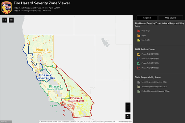
On March 24, 2025, CAL FIRE released its revised Fire Hazard Severity Zone for your area. This interactive map lets you see where your home is located on the map.
Oak Park Fire Hazard Severity Zone
Oak Park is part of the 4th and final phase of CAL FIRE’s local Fire Hazard Severity Zone maps.
156 cities and counties in Southern California received recommendations with the three levels of fire hazard:
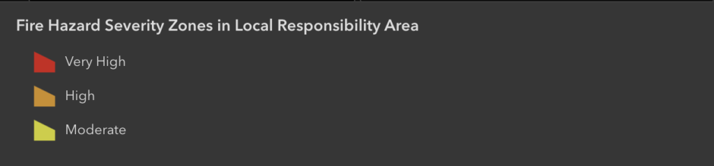
🟡 Moderate Fire Hazard- 2,956,761 acres
🟠 High Fire Hazard- 364,767 acres
🔴 Very High Fire Hazard- 817,212 acres
These maps play an important role in setting the standard of where CAL FIRE applies critical wildfire mitigations like building codes and defensible space.
The History of Fire Hazard Severity Zone Maps
Fire Hazard Severity Zone maps arose from major destructive fires, prompting the recognition of these areas and strategies to reduce wildfire risks. Legislative response led to mandated mapping across California under the California Public Resources Code 4201-4204, encompassing all State Responsibility Areas (SRA).
What are Fire Hazard Severity Zones?
The State Fire Marshal is mandated to classify lands within State Responsibility Areas into Fire Hazard Severity Zones (FHSZ). Fire Hazard Severity Zones fall into one of the following classifications:
- Moderate
- High
- Very High
The California laws that require Fire Hazard Severity Zones include California Public Resources Code 4201-4204, California Code of Regulations Title 14, Section 1280 and California Government Code 51175-89.
Interactive Slider
Slide the slider left and right to reveal your area. Best viewed on a desktop computer.


Legend
CLICK HERE – To view the CAL FIRE Severity Map on their site
CLICK HERE – To find out more about CAL FIRE’s Severity Zones
CLICK HERE – To read a message from Insurance Commissioner, Ricardo Lara, regarding the updated maps